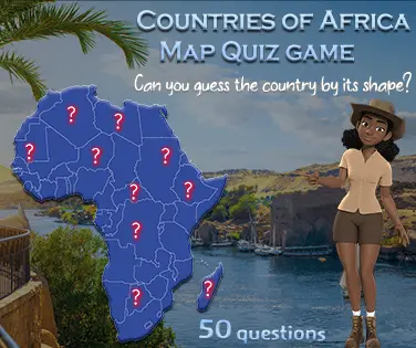
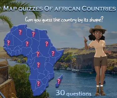
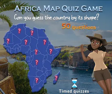
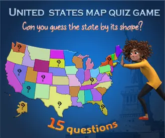
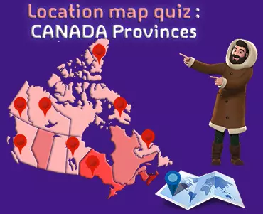
Canada Map Quiz Game is an online game that requires you to recognize the shapes of the provinces and territories of Canada. You must identify each province or territory by clicking on its shape. As you progress, you will get faster and faster. It's like a fast geography test. Once you are confident with all the shapes, try and see if you could recognize a Canadian Province just by looking at its shape? Play now, it's free!
Canada Map Quiz Free Game
Can you recognize provinces in this Canada map quiz game? If you think your province, is the best, then test your knowledge in this quiz game. Take the quiz and share your score with all your friends. This is a game that tests your knowledge of recognizing the shapes of the provinces and territories of Canada. To be considered an expert, you must obtain at least 100 points out of 130. This educational game will help students and geography enthusiasts to familiarize themselves with the knowledge of Canada. It's your turn to play!
The Canada map quiz game brings a bit of fun to your geographical learning (and increased knowledge about Canada). The quizzes are fun and challenging, making you think from different perspectives. There is no time limit, which makes it easy to use the game during breaks or whenever you want to.You can also find such games on maps.lifecourse.
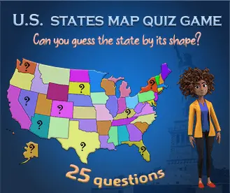
Canada Map provinces quiz : an educational game
This educational game will help students and geography enthusiasts to familiarize themselves with the knowledge of Canada’s provinces and territories. The objective of the game is to fill in all the missing province or territory names on the map. The game starts with a map of Canada with all of the provinces and territories names hidden. The player is given time to study the map before the game starts. After the game starts, the player will be asked to name the province or territory that is associated with a specific shape on the map. The player has 1 chances to get the answer right. If the player gets the answer wrong, the correct answer will be revealed. The game is over when the player has answered all the questions correctly or when the time runs out.
Related games
You might also like

Are you ready to test your knowledge Take our free Canada map quiz now!
In order to test your knowledge on the geography of Canada, we have created a free Canada map quiz. This quiz will cover some of the basic information about Canada, such as its provinces and territories. We hope that you find this quiz to be both challenging and educational!
The Canada map quiz game is a game that tests your knowledge of recognizing the shapes of the provinces and territories of Canada. Would you be able to recognize a Canadian province just by looking at its shapes? The game is simple. There is a map of Canada and you will be asked to identify a province or a territory by its shape. You will be given three chances to get the answer right. After that, you will be asked to move on to the next question. The game is over when you have answered all the questions correctly. If you found it to be difficult, don't worry - there are plenty of resources available to help you learn more about the geography of Canada. We hope that you enjoyed testing your knowledge on the subject!
Canada map quiz: what's Alberta like?
The province of Alberta is located in the western part of Canada. It is bordered by the provinces of Saskatchewan and British Columbia, as well as the state of Montana in the United States. Alberta's capital city is Edmonton, and its largest city is Calgary. Alberta is home to a number of natural attractions, including the Rocky Mountains, the Badlands, and Jasper National Park. The province is also a major producer of oil and gas.
The main geography characteristics of Quebec
Quebec is called "la Belle Province" because of its beauty. The province has many rivers, lakes and mountains. Quebec is the second largest province in Canada. It has an area of 1,542,056 square kilometers. Quebec's motto is "Je me souviens" which means "I remember".
The main geography characteristics of Quebec are its lowlands, mountains, rivers, and lakes. The province has four distinct seasons, with cold, snowy winters and warm, humid summers. Quebec is located in eastern Canada and is the second-largest province in the country. It is bordered by the provinces of Ontario to the west and Newfoundland and Labrador to the east, as well as the U.S. states of New York, Vermont, New Hampshire, and Maine. The capital city of Quebec is Quebec City, which is located on the St. Lawrence River. Other major cities in the province include Montreal, Sherbrooke, and Trois-Rivières.
The main characteristics of Quebec's geography are its lowlands, mountains, rivers, and lakes. The province has four distinct seasons, with cold, snowy winters and warm, humid summers. Quebec is home to a variety of wildlife, including bears, moose, deer, and wolves.
The main sport of Quebec is ice hockey. The province has a long history with the sport, dating back to the early 1800s. The Montreal Canadiens, the province's NHL team, is one of the most successful teams in the league, with 24 Stanley Cup wins.
The longest river in Quebec is the Saint Lawrence River, which runs through the province from west to east.
The official bird of Quebec is the snowy owl.